
# HTML Article: GPS Application
GPS apps have revolutionized how we navigate, transforming smartphones into powerful navigation tools that guide millions of users daily through unfamiliar roads and cities.


Gone are the days when travelers relied solely on paper maps and vague directions. Modern GPS applications combine satellite technology with real-time data to provide accurate, turn-by-turn navigation that adapts to changing traffic conditions and road closures.
Whether you’re commuting to work, exploring a new city, or embarking on a cross-country road trip, GPS apps have become indispensable companions. They offer far more than simple directions—they provide traffic updates, alternative routes, speed limit warnings, and even help you discover nearby restaurants and gas stations along your journey. 🗺️
The Evolution of Navigation Technology
The journey from traditional navigation to today’s sophisticated GPS applications represents one of technology’s most significant achievements. Early GPS systems were bulky, expensive, and limited to military applications. The transformation began when the U.S. government made GPS technology available for civilian use in the 1990s.
Initially, standalone GPS devices dominated the market. These dedicated units mounted on car dashboards provided basic turn-by-turn directions but lacked the flexibility and real-time updates we now take for granted. The game changed completely with the smartphone revolution.
Modern GPS apps leverage smartphone capabilities to create comprehensive navigation ecosystems. They combine GPS satellites, cellular data, Wi-Fi positioning, and user-generated reports to deliver remarkably accurate and current information. This convergence of technologies has made professional-grade navigation accessible to everyone with a smartphone.
How GPS Applications Actually Work 🛰️
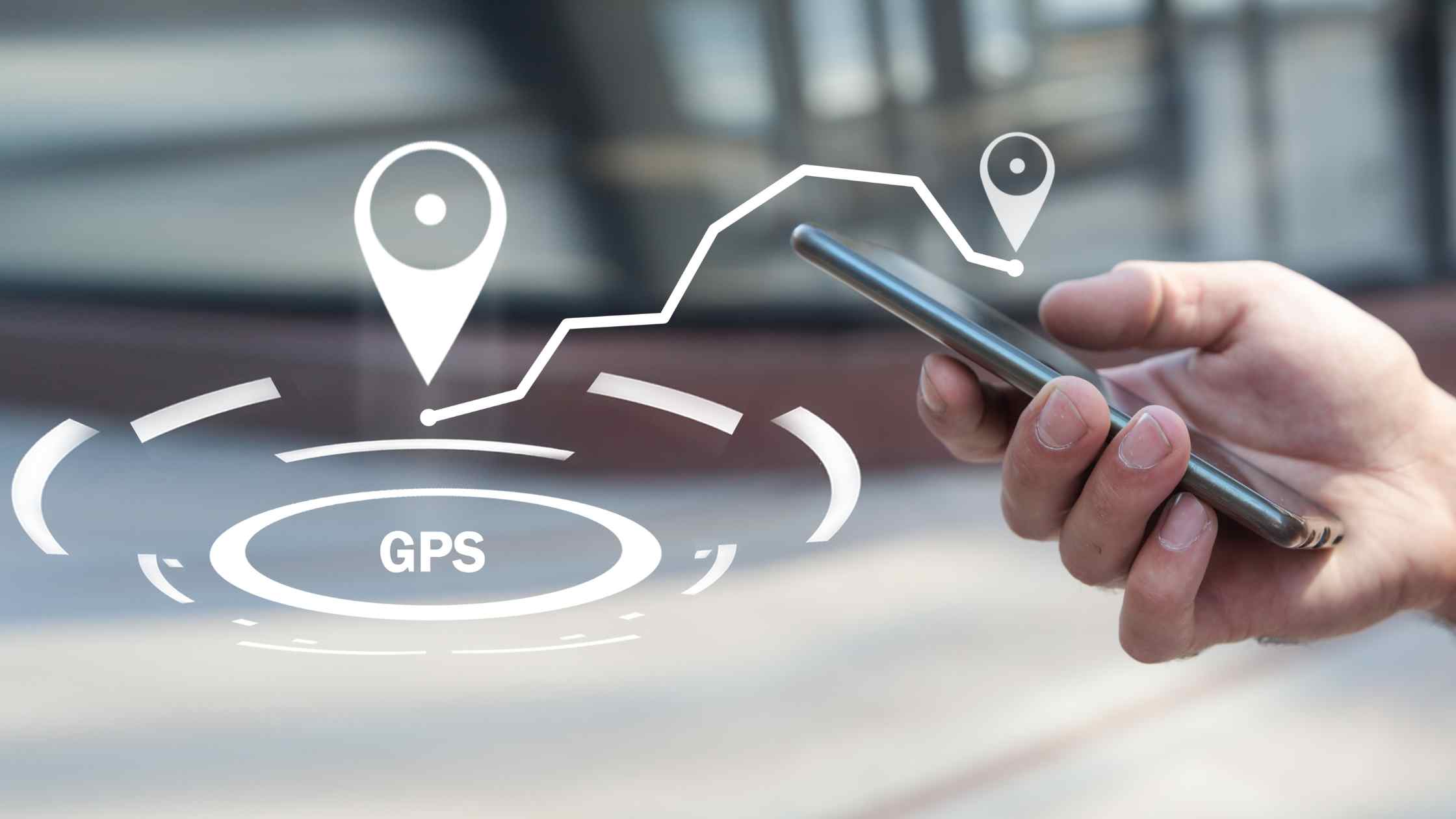
Understanding the technology behind GPS apps reveals the complexity hidden beneath their user-friendly interfaces. At its core, GPS relies on a constellation of satellites orbiting Earth, continuously broadcasting signals that contain their location and precise timestamp.
Your smartphone’s GPS receiver picks up signals from multiple satellites—typically at least four—and calculates your exact position through a process called trilateration. By measuring the time it takes for each satellite signal to reach your device, the GPS chip determines your distance from each satellite and pinpoints your location on Earth’s surface.
But GPS applications go far beyond basic positioning. They integrate multiple data sources to enhance accuracy and functionality:
- Assisted GPS (A-GPS) uses cellular network data to speed up satellite acquisition and improve accuracy in urban environments
- Wi-Fi positioning triangulates your location based on nearby wireless networks
- Cellular tower triangulation provides backup positioning when GPS signals are weak
- Accelerometer and gyroscope data help track movement and orientation when signals are temporarily lost
- Crowd-sourced information from other users updates traffic conditions, accidents, and road hazards in real-time
Essential Features That Define Modern GPS Apps
Today’s navigation applications offer a rich feature set that extends well beyond basic directions. Understanding these capabilities helps users maximize the value they derive from their chosen GPS app.
Real-Time Traffic Intelligence
Perhaps the most valuable feature of modern GPS applications is their ability to monitor traffic conditions and suggest faster alternative routes. By analyzing data from millions of users simultaneously on the road, these apps identify congestion patterns, accidents, and slowdowns before you encounter them.
Advanced algorithms calculate estimated arrival times with impressive accuracy, adjusting predictions dynamically as conditions change. Some applications even learn your regular routes and can suggest optimal departure times to avoid predictable rush-hour traffic.
Voice-Guided Navigation
Hands-free operation isn’t just convenient—it’s essential for safe driving. High-quality GPS apps provide clear, timely voice instructions that allow drivers to keep their eyes on the road. The best implementations offer natural-sounding voices in multiple languages and can announce street names, not just generic directions.
Voice command functionality takes this further, allowing users to set destinations, search for points of interest, and report road conditions without touching their devices. This integration with smartphone assistants creates a truly hands-free experience.

Offline Maps and Navigation
One limitation of connected navigation is the dependency on data connections. Leading GPS applications now offer downloadable offline maps, ensuring you can navigate even in areas with poor cellular coverage or when traveling internationally without data roaming.
These offline maps include full turn-by-turn navigation, points of interest, and search functionality. While they lack real-time traffic updates, they provide essential navigation capabilities when connectivity isn’t available.
Community-Driven Navigation Revolution 👥
The rise of crowd-sourced GPS applications has transformed navigation from a one-way information flow into a collaborative community experience. These platforms harness the collective intelligence of their user base to provide unmatched real-time road intelligence.
Users actively report various road conditions as they drive, creating a dynamic information network that benefits everyone. This includes accidents, police presence, speed cameras, road hazards, construction zones, and even vehicles stopped on the shoulder. The immediacy of this information often surpasses official traffic reports.
Community features extend beyond hazard reporting. Users can share favorite routes, recommend interesting destinations, and help each other find the cheapest gas stations nearby. This social dimension adds value beyond pure navigation, creating engagement that keeps users actively contributing to the ecosystem.
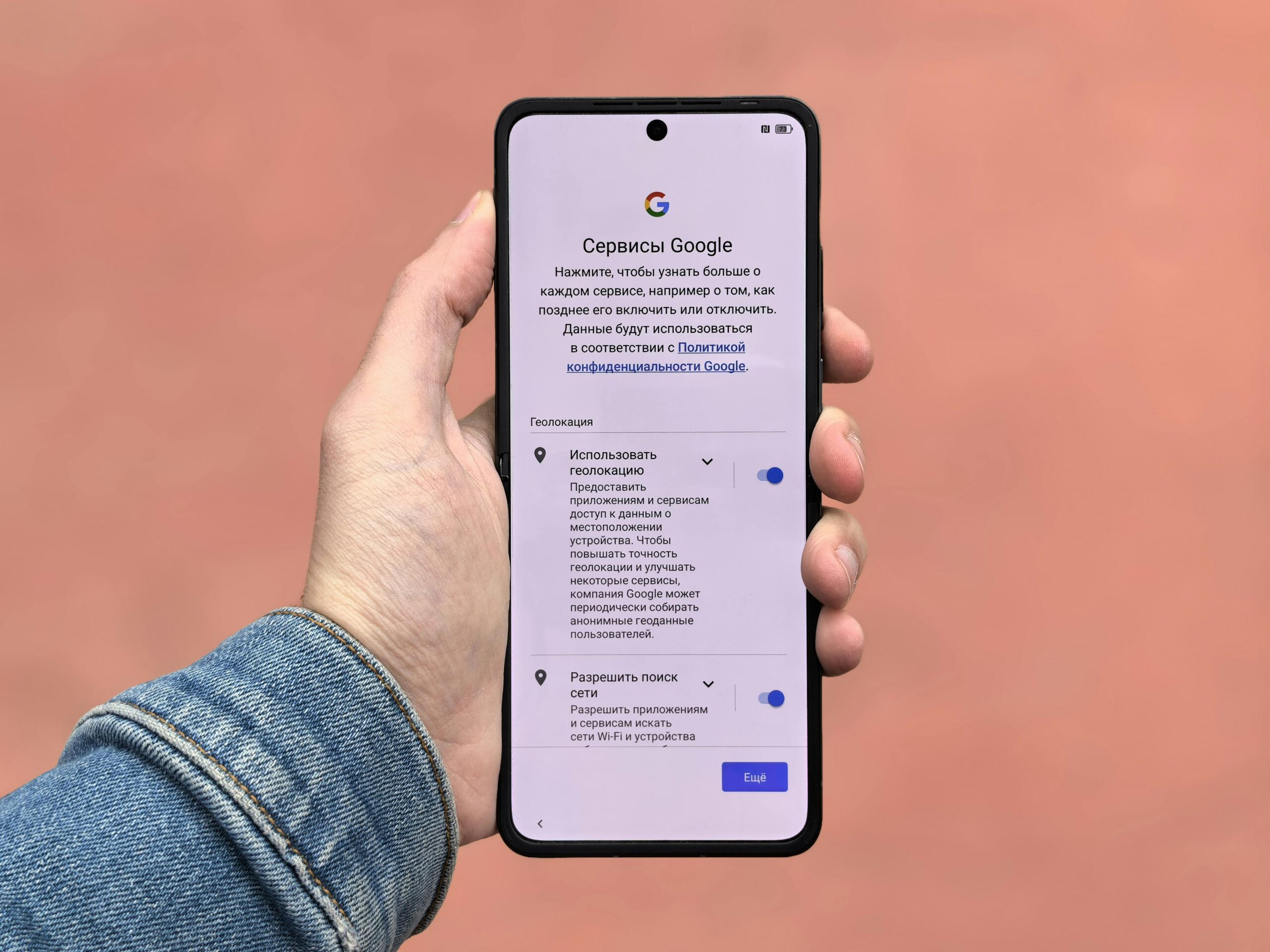
Privacy Considerations in GPS Applications 🔒
While GPS apps provide tremendous convenience, they also collect significant amounts of location data. Understanding the privacy implications helps users make informed decisions about which apps to use and how to configure their settings.
Location data represents one of the most sensitive types of personal information. It reveals where you live, work, shop, worship, and socialize. GPS applications typically collect this data continuously while active, building detailed profiles of user movement patterns.
Reputable GPS app developers implement various privacy protections. Many anonymize location data before using it to generate traffic information. Others allow users to control precisely what information is shared and retained. Reading privacy policies and adjusting app permissions appropriately remains crucial for protecting personal information.
Consider these privacy-conscious practices when using GPS applications:
- Review and adjust location permission settings to “only while using the app” rather than “always”
- Disable location history if you don’t need personalized recommendations
- Regularly clear saved destinations and search history
- Use privacy-focused GPS applications if data protection is a primary concern
- Understand how the app monetizes—free apps often rely on collecting and selling user data
Battery Optimization for Extended Navigation
GPS functionality is notoriously power-hungry. Continuous satellite signal reception, screen display, cellular data usage, and constant calculations drain smartphone batteries quickly. Long navigation sessions can deplete a full battery in just a few hours without proper management.
Most modern GPS applications include battery-saving modes that reduce refresh rates and dim displays during straightforward highway driving. However, users can take additional steps to extend battery life during navigation:
Reducing screen brightness manually often provides more battery savings than automatic settings. Many GPS apps allow you to dim the display significantly since you primarily rely on voice directions once the route is established. Some applications offer battery-saver themes with dark backgrounds that consume less power on OLED screens.
Connecting your smartphone to a car charger solves battery concerns entirely for vehicle navigation. For pedestrian or bicycle navigation, portable power banks provide extended operation without weighing you down excessively.
Specialized GPS Applications for Different Activities 🚴
While general-purpose navigation apps serve most everyday needs, specialized GPS applications cater to specific activities with unique requirements. These niche apps provide features and optimizations that general navigation platforms can’t match.
Hiking and Outdoor Navigation
Outdoor GPS applications focus on topographic maps, trail information, and offline functionality essential for wilderness navigation where cellular coverage is unreliable or nonexistent. They display elevation profiles, track statistics like distance and ascent, and often include compasses and waypoint management.
These apps typically feature detailed trail maps contributed by outdoor enthusiasts, including difficulty ratings, photographs, and user reviews. Safety features like sharing your location with emergency contacts and SOS functionality provide crucial peace of mind in remote areas.
Cycling-Specific Navigation
Bicycle navigation requires different routing logic than automotive GPS. Cycling apps prioritize bike lanes, lower-traffic roads, and routes with gentler gradients. They integrate with bike computers and smart trainers, providing performance metrics like speed, cadence, and power output.
Many cycling GPS applications include social features connecting riders with local cycling communities, group rides, and segment challenges. These platforms have become integral to modern cycling culture, blending navigation with fitness tracking and social networking.
Professional and Commercial Use
Delivery drivers, rideshare operators, and logistics professionals rely on GPS applications optimized for commercial routing. These apps handle multiple stops efficiently, optimize routes to minimize driving time and fuel consumption, and provide proof-of-delivery features.
Fleet management integration allows businesses to monitor driver locations, track vehicle performance, and ensure efficient operations. These commercial GPS solutions often include business intelligence features that help companies analyze routing efficiency and identify improvement opportunities.
The Future of GPS Navigation Technology 🚀
Navigation technology continues evolving rapidly, with emerging capabilities promising to make GPS applications even more powerful and intuitive. Several trends are shaping the next generation of navigation experiences.
Augmented Reality Navigation
AR-enhanced GPS applications overlay directional arrows and information directly onto camera views of the real world. This technology proves particularly valuable for pedestrian navigation in complex urban environments where traditional map views can be confusing.
Early implementations show tremendous promise, though challenges remain regarding battery consumption and the safety of looking at screens while walking. As AR glasses become more common, these navigation experiences will likely become more seamless and less obtrusive.
Artificial Intelligence Integration
Machine learning algorithms are making GPS apps smarter and more personalized. AI analyzes your driving habits, preferred routes, and regular destinations to provide increasingly relevant suggestions without explicit input.
Predictive navigation takes this further by anticipating where you’re likely headed based on time, day, and location patterns. Your GPS app might automatically load directions to work on weekday mornings or suggest restaurants near your evening destination.
Enhanced Multimodal Navigation
Future GPS applications will seamlessly integrate multiple transportation modes within single journey plans. They’ll calculate optimal routes combining driving, public transit, rideshare services, bike-sharing, and walking, considering factors like cost, time, and environmental impact.
Real-time integration with transportation systems will provide live updates on bus and train arrivals, available parking spaces, and rideshare wait times, enabling truly intelligent mobility decisions.
Maximizing Your GPS App Experience 💡
Getting the most from your navigation application involves more than simply entering destinations. Understanding advanced features and best practices enhances both convenience and safety.
Take time to explore your GPS app’s settings menu. Most applications offer extensive customization options that significantly improve the user experience when configured according to your preferences. Adjust voice volume separately from media volume, select your preferred navigation voice, and customize what information displays on the map view.
Save frequently visited locations as favorites for quick access. Most apps allow you to assign custom names and icons, making it easy to navigate to regularly visited places with just a tap or voice command. Creating lists of saved places—like favorite restaurants, hiking trailheads, or friends’ homes—keeps these organized and accessible.
Familiarize yourself with your app’s route customization options. Most navigation platforms let you avoid tolls, highways, or ferries according to your preferences. You can also add multiple stops to optimize errands or road trip planning, and some apps allow manual route adjustment by dragging the suggested path to your preferred roads.
Report road conditions when safe to do so. Contributing to the community that makes your navigation experience better creates a positive feedback loop where everyone benefits from shared information. However, always prioritize safe driving over app interaction—use voice commands when available and pull over if manual input is necessary.
Choosing the Right GPS Application for Your Needs
The navigation app market offers numerous options, each with distinct strengths and specializations. Selecting the right application depends on your specific needs, preferences, and usage patterns.
Consider what features matter most to you. If you prioritize community-reported hazards and real-time traffic avoidance, apps with strong crowd-sourced data provide the best experience. For offline navigation capabilities during international travel or remote adventures, look for applications with robust downloadable map options.
Privacy-conscious users should research how different GPS apps handle location data. Some applications collect minimal information and offer greater user control, while others monetize through data collection and advertising. Understanding these differences helps align your choice with your privacy values.
Test multiple applications to find what feels most intuitive. Interface design, voice quality, and overall user experience are highly personal preferences. Most GPS apps are free to download, so experimenting with several options before settling on your primary navigation tool costs nothing but time.
Don’t overlook the value of having a backup navigation app installed. If your primary GPS application experiences issues, having an alternative ready ensures you’re never without navigation capability. Different apps also excel in different situations, so switching between them based on specific needs can provide the best overall experience.
Safety First: Responsible GPS Usage While Driving 🚗
While GPS applications dramatically improve navigation convenience, they also present distraction risks when used improperly. Responsible usage prioritizes safety above all other considerations.
Always set your destination before starting to drive. Attempting to input addresses or search for locations while in motion significantly increases accident risk. If you need to change your destination mid-journey, pull over safely before interacting with your device.
Position your smartphone in a proper mount within your field of view but not blocking your vision of the road. Glancing at navigation displays should require minimal eye movement and attention. Never hold your phone while driving, even briefly to check directions.
Rely primarily on voice navigation rather than visual map monitoring. Modern GPS apps provide clear, timely audio directions that allow you to keep your eyes on the road. Trust the voice guidance and only glance at the screen when stopped at traffic lights or when additional confirmation is helpful.
Remember that GPS applications aren’t infallible. Occasionally, they suggest routes that are impractical, closed, or even dangerous. Always prioritize traffic signs, road conditions, and your own judgment over app directions. If something seems unsafe or wrong, trust your instincts and find an alternative route.
The incredible convenience of GPS navigation apps has transformed how we move through the world, making getting lost nearly obsolete. These powerful tools continue evolving, incorporating new technologies and features that make them ever more capable and indispensable. By understanding how they work, choosing the right application for your needs, and using them responsibly, you can fully leverage GPS technology to navigate confidently wherever your journey takes you. 🌍